Services
EXEMPTION Surveys
Exemption surveys, in certain situations, can be used to create properties or move boundary lines using procedures that exempt the process from be required to go through subdivision review.
topographic
Topographic surveys map the terrain and features of an area providing the basemap for construction and land development projects.
land planning
Sands Surveying has two Land Use Planners on staff who can help you with everything from a Major Subdivision Process to Zoning Related issues.
construction
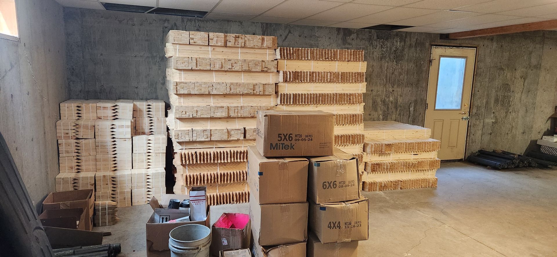
Construction Surveying is a big part of our summer. We can help with anything from the staking of your new homes foundation to the infrastructure of your subdivision project.
boundary
Boundary surveys precisely define property limits, ensuring legal clarity for property transactions and resolving disputes.
FEMA
FEMA surveys in our area mainly revolve around floodplain related issues. We can help you navigate issues such as defining where the floodplain is on your property prior to planning and construction as well as help you update or change FEMA maps through LOMA and LOMR-F processes.


